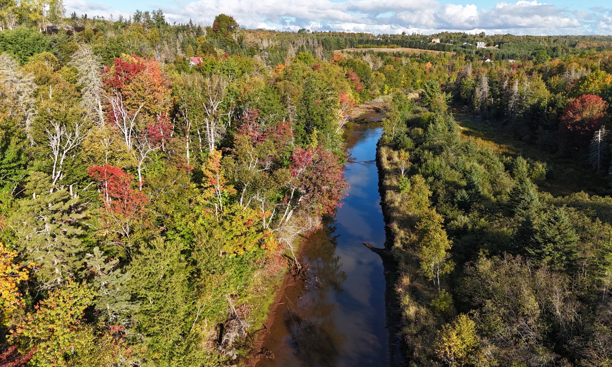
Here is a map showing the overview of the West River Watershed and sub-watersheds. We have added place marks to highlight some of the watershed enhancements along with photos. Click on blue place mark to view photos. Note the colour boundaries showing the different regions.
Regions of the West River Watershed:
Yellow – Upper West River system, above the tidal influence
Orange – Clyde River sub-watershed
Blue – Churchill sub-watershed
Green – Argyle Shore, numerous streams exiting directly to Northumberland Strait
Red – Estuary sub-watersheds exiting to the West River estuary
